Deception Island
Deception Island is a volcanic island, part of the South Shetland chain, on Bransfield Strait, north of the tip
of the Antarctic Pensinula at latitude 63 S. The island was first sighted in 1820 by the
Antarctic explorer Edward Bransfield. A thriving whaling industry existed there in the early 1900s.
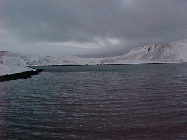
The island is seismically very active, having last erupted in 1970. Its harbor, Port Foster, formed during an earlier
eruption when a section of the southeastern rim of the central caldera collapsed and was flooded by the sea. Port Foster
has a narrow, shallow (11 m) opening to the south (Neptune's Bellows) and is about 8 km long, 5 km wide, and 160 m deep.
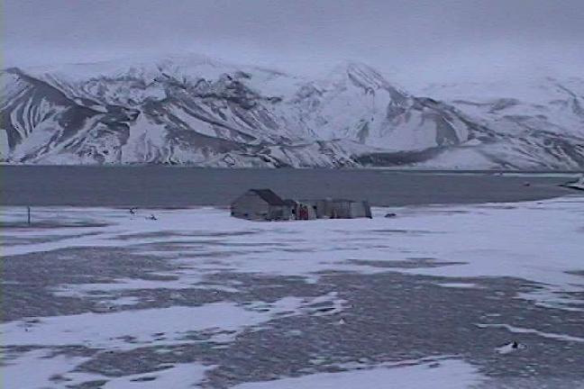
The ruins of the abandoned whaling station, partially destroyed by past eruptions, are just inside Neptune's Bellows, on
Whaler's Cove. Ernest Shackleton's expedition was aware of the whaling station at
Deception Island. In fact, sailing to Deception Island from their winter camp at Point Wild on Elephant Island
was the second choice after sailing to South Georgia Island. (It was about double the distance and against
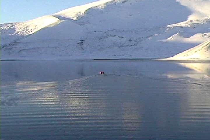
the prevailing winds and currents, however). Port Foster forms a unique and sheltered
natural laboratory for examining the effect of seasonal ice cover on benthic and pelagic marine life. A year-long study
of the Deception Island ecosystem (named Erupt in recognition of the volatile nature of
the island) is being carried out by marine biologist Dr. Ken
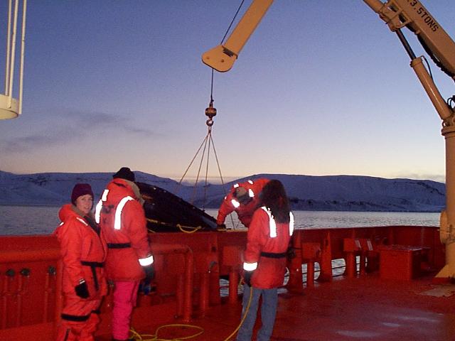
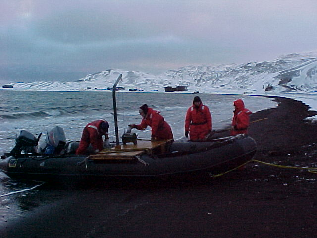
Smith, SIO. I participated in the Erupt IV experiment, from May 16 to June 15, 2000, and the
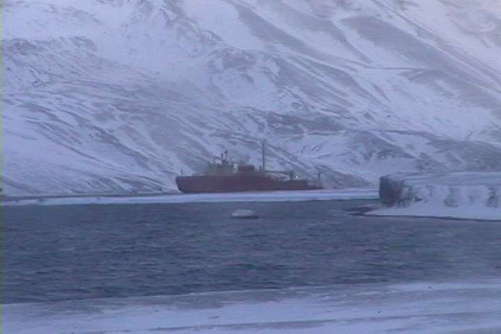
pictures shown here were taken by cruise participants and the ship's crew using the digital
camera on board the ARSV Laurence M. Gould. Because of the extremely high risk of eruptions, there are
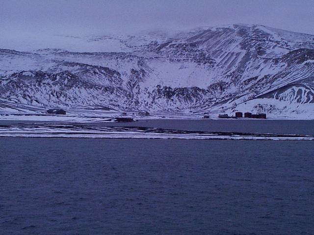
no permanent research stations at Deception Island. Spanish and Argentine scientists have summer
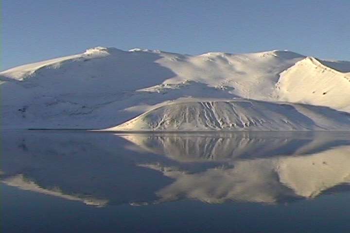
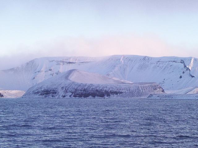
research stations based at Fumerole Bay. Mount Pond is the highest point on Deception
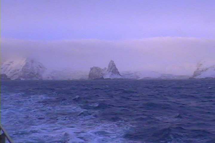
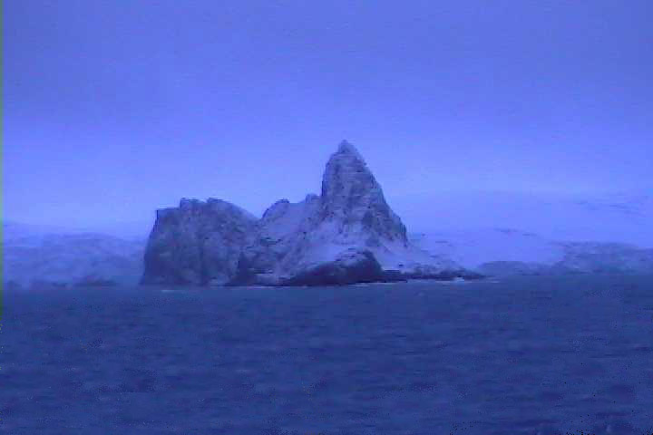
Island. Smith Island and Elephant Island are other islands in the South Shetland chain and are also pictured here.
Over a million penguins live in colonies on the outside of Deception Island during austral summer. Seasonally,
Port Foster is home to fur seals, gentoo and chinstrap penguins, kelp gulls, and skuas. We saw gentoo and chinstrap penguins
and fur seals at Port Foster in June 2000. Because of the seismic activity, there
are thermal vents and steaming beaches. (In June 2000 we sampled shore water with temperatures of about
90C at Fumerole Bay!) Productivity is enhanced within Port Foster and around Deception Island, possibly
due to iron enrichment from the thermal areas. Dr. Anne Sturz, USD is studying the marine geochemistry of Port Foster as part
of the Erupt time series.